| Colt State Park | |
|---|---|
 Main building | |
| Location | Bristol, Rhode Island, United States |
| Coordinates | 41°40′40″N 71°17′50″W / 41.67778°N 71.29722°W[1] |
| Area | 464 acres (188 ha) |
| Elevation | 20 ft (6.1 m)[1] |
| Established | 1965 |
| Named for | Samuel P. Colt |
| Administrator | Rhode Island Department of Environmental Management, Division of Parks & Recreation |
| Website | Colt State Park |
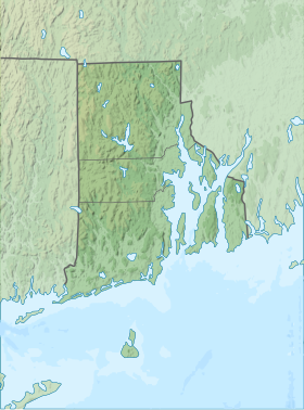
Colt State Park is a public recreation area that occupies 464 acres (188 ha) on Poppasquash Neck in the town of Bristol, Rhode Island, once owned by industrialist Samuel P. Colt, nephew of firearms manufacturer Samuel Colt. The park is a major component of the Poppasquash Farms Historic District, listed on the National Register of Historic Places, and is a stop on the East Bay Bike Path. The park includes trails, picnic groves, boat ramps, an observation tower, and an open air Chapel-by-the-Sea.[2]
- ^ a b "Popasquash Neck". Geographic Names Information System. United States Geological Survey, United States Department of the Interior.
- ^ Cite error: The named reference
parkswas invoked but never defined (see the help page).
