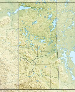
| Crooked Lake Provincial Park | |
|---|---|
| Location | RM of Grayson No. 184, Saskatchewan, Canada |
| Nearest city | Grenfell |
| Coordinates | 50°36′27″N 102°40′24″W / 50.6074°N 102.6733°W |
| Established | 1986 |
| Governing body | Saskatchewan Parks |
 | |
Crooked Lake Provincial Park[1] is a recreational provincial park in the south-east region of the Canadian province of Saskatchewan. It is situated along the north-eastern shore of Crooked Lake[2] in the Qu'Appelle Valley in the RM of Grayson No. 184. The community of Sunset Beach is adjacent to the eastern boundary of the park and access is from Highway 247.[3]
Crooked Lake Provincial Park has a campground[4] with electric and non-electric sites, potable water, showers, and washrooms. All of the campsites are a short distance from Crooked Lake, which has a beach and picnic area, boat launch, and fish cleaning station. Fish commonly found in the lake include walleye, perch, and northern pike.[5]
- ^ "Crooked Lake Provincial Park". Canadian Geographical Names Database. Government of Canada. Retrieved 16 August 2022.
- ^ "Crooked Lake". Canadian Geographical Names Database. Government of Canada. Retrieved 29 December 2023.
- ^ "Provincial Parks". The Encyclopedia of Saskatchewan. University of Regina. Archived from the original on 20 September 2022. Retrieved 16 August 2022.
- ^ "Crooked Lake Provincial Park". Tourism Saskatchewan. Government of Saskatchewan. Retrieved 16 August 2022.
- ^ "Crooked Lake Provincial Park RV Guide". Outdoorsy. Outdoorsy, Inc. Retrieved 16 August 2022.

