Curepipe
La Ville-Lumière | |
|---|---|
Town | |
| Curepipe | |
 Aerial view of Curepipe. | |
| Motto(s): | |
| Coordinates: 20°19′7.59″S 57°31′34.66″E / 20.3187750°S 57.5262944°E | |
| Country | |
| District | Plaines Wilhems |
| Government | |
| • Type | Municipality |
| • Mayor | Hans Berty Margueritte |
| • Deputy Mayor | Chellen Samy |
| Area | |
| • Total | 24 km2 (9 sq mi) |
| Elevation | 561 m (1,841 ft) |
| Population (2018)[2] | |
| • Total | 78,618 |
| • Rank | 4th in Mauritius |
| • Density | 3,300/km2 (8,500/sq mi) |
| Time zone | UTC+4 (MUT) |
| Climate | Cfa |
| Website | municipal-curepipe.org |
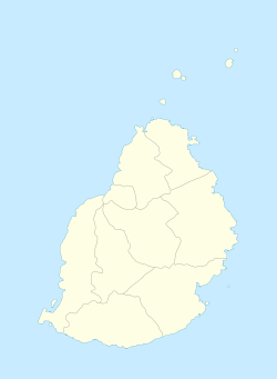
Curepipe (Mauritian Creole pronunciation: [kiːəpip]) also known as La Ville-Lumière (The City of Light), is a town in Mauritius, located mainly in the Plaines Wilhems District. Its eastern part lies in the Moka District. The town is administered by the Municipal Council of Curepipe. Curepipe lies at a higher elevation, often referred to as the "Central Plateau". According to the census made by Statistics Mauritius in 2018, the population of the town was at 78,618.[2]
- ^ "Archived copy". Archived from the original on 4 April 2014. Retrieved 20 October 2013.
{{cite web}}: CS1 maint: archived copy as title (link) - ^ a b Statistics Mauritius: Demography Unit (2018). "DIGEST OF DEMOGRAPHIC STATISTICS 2018" (PDF). Dec. Government of Mauritius: 33. Retrieved 21 May 2020.
{{cite journal}}: Cite journal requires|journal=(help)

