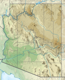
| Date Creek Mountains | |
|---|---|
Date Creek Mountains in Arizona | |
| Highest point | |
| Peak | Tenderfoot Hill, Date Creek Mountains (east terminus) |
| Elevation | 3,477 ft (1,060 m) |
| Coordinates | 34°10′38″N 112°51′33″W / 34.1772°N 112.8591°W |
| Dimensions | |
| Length | 13 mi (21 km) E-W |
| Geography | |
| Country | United States |
| State | Arizona |
| Region(s) | (northwest)-Sonoran Desert (Maria fold and thrust belt) |
| District | Yavapai County |
| Community | Congress, Arizona |
| Borders on |
|
The Date Creek Mountains is a short, arid range in southwest Yavapai County, Arizona. Congress is on its southeast foothills, and Wickenburg lies 15 mi (24 km) southeast.
