| Dirty Devil River | |
|---|---|
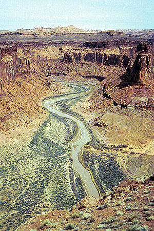
 The Dirty Devil River near Twin Corral Box Canyon | |
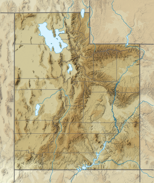
 Location of the Dirty Devil River within Utah | |
| Location | |
| Country | United States |
| State | Utah |
| County | Wayne County, Garfield County |
| Physical characteristics | |
| Source | Confluence of Fremont River and Muddy Creek |
| • location | Wayne County, Utah |
| • coordinates | 38°24′9″N 110°41′35″W / 38.40250°N 110.69306°W[1] |
| • elevation | 4,266 ft (1,300 m)[2] |
| Mouth | Colorado River |
• location | Lake Powell, Glen Canyon National Recreation Area, Garfield County, Utah |
• coordinates | 37°53′30″N 110°23′33″W / 37.89167°N 110.39250°W[1] |
• elevation | 3,703 ft (1,129 m)[3] |
| Length | 80 mi (130 km)[4] |
| Discharge | |
| • average | 101 cu ft/s (2.9 m3/s)[5] |
| • minimum | 0 cu ft/s (0 m3/s) |
| • maximum | 35,800 cu ft/s (1,010 m3/s) |
| Basin features | |
| Tributaries | |
| • left | Muddy Creek |
| • right | Fremont River |
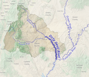
The Dirty Devil River is an 80-mile-long (130 km) tributary of the Colorado River, located in the U.S. state of Utah. It flows through southern Utah from the confluence of the Fremont River and Muddy Creek before emptying into the Colorado River at Lake Powell.
- ^ a b U.S. Geological Survey Geographic Names Information System: Dirty Devil River
- ^ Source elevation derived from Google Earth search using GNIS source coordinates.
- ^ Mouth elevation derived from Google Earth search using GNIS mouth coordinates.
- ^ Dirty Devil River Archived March 19, 2006, at the Wayback Machine, The Columbia Gazetteer of North America
- ^ http://wdr.water.usgs.gov/wy2013/pdfs/09333500.2013.pdf [bare URL PDF]
