| Downham | |
|---|---|
 The village with the bridge crossing Downham Beck | |
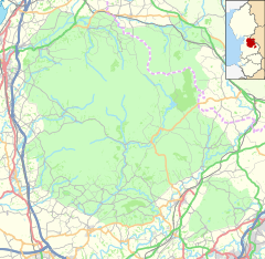
Location within Lancashire | |
| Population | 214 (2011 Census) |
| OS grid reference | SD785442 |
| Civil parish |
|
| District | |
| Shire county | |
| Region | |
| Country | England |
| Sovereign state | United Kingdom |
| Post town | CLITHEROE |
| Postcode district | BB7 |
| Dialling code | 01200 |
| Police | Lancashire |
| Fire | Lancashire |
| Ambulance | North West |
| UK Parliament | |
Downham /ˈdaʊnəm/ is a village and civil parish in Lancashire, England. It is in the Ribble Valley district and at the United Kingdom 2001 census had a population of 156.[1] The 2011 Census includes neighbouring Twiston giving a total for both parishes of 214.[2][3] The village is on the north side of Pendle Hill off the A59 road about 3 miles (4.8 km) from Clitheroe. Much of the parish, including the village is part of the Forest of Bowland Area of Outstanding Natural Beauty (AONB).[4] It adjoins the Ribble Valley parishes of Rimington, Twiston, Worston, Chatburn and Sawley, and the Pendle parish of Barley-with-Wheatley Booth.
- ^ "Parish headcount" (PDF). Lancashire County Council. Archived from the original (PDF) on 10 December 2006. Retrieved 27 December 2008.
- ^ UK Census (2011). "Local Area Report – Downham Parish (1170215105)". Nomis. Office for National Statistics. Retrieved 25 February 2018.
- ^ "Wards and parishes map". MARIO. Lancashire County Council. Retrieved 26 February 2018.
- ^ Forest of Bowland map (Map). forestofbowland.com. Lancashire County Council.


