| Dry Island Buffalo Jump Provincial Park | |
|---|---|
 Panoramic view | |
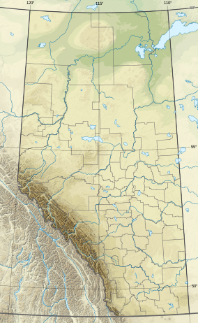
| Location | Kneehill County / Alberta, Canada |
| Nearest city | Trochu, Red Deer |
| Coordinates | 51°56′38″N 112°57′49″W / 51.94389°N 112.96361°W |
| Area | 34.5 km2 (13.3 sq mi) |
| Established | December 15, 1970 |
| Governing body | Alberta Tourism, Parks and Recreation |
 | |
Dry Island Buffalo Jump Provincial Park is a provincial park in Central Alberta, Canada, located about 103 km (64 mi) southeast of Red Deer and 16 km (9.9 mi) northeast of Trochu, 1 mile north and 10 miles east of Huxley. The park is situated along the Red Deer River and features badlands topography. Its name derives from the large plateau in the middle of the park, 200 m (660 ft) above the Red Deer River, which has never been developed by humans and retains virgin prairie grasses.
The park is situated at an elevation ranging from 720 m (2,360 ft) to 875 m (2,871 ft) and has an area of 34.5 km2 (13.3 sq mi). It is the site of an ancient buffalo jump, where Cree native people drove bison over the cliffs in large numbers to provide for their tribes. The hills also contain unique flora and fauna that are not found this far east of Alberta's Rocky Mountains in as large numbers as at Dry Island. The park contains the most important Albertosaurus bone bed in the world, which was first discovered by Barnum Brown in 1910 and rediscovered by Dr. Phil Currie in 1997. The bone bed excavation was halted at the end of August 2005. Dr. Currie left the Royal Tyrrell Museum in October 2005 to become the Canada Research Chair with the Biological Sciences Department at the University of Alberta. Under university auspices, excavation at the bone bed continued in the summers of 2006, 2007 and 2008.
