 | |
| Native name | Bóthar an Phoirt Thoir (Irish) |
|---|---|
| Namesake | East Wall |
| Length | 2.0 km (1.2 mi) |
| Width | 17 metres (56 ft) |
| Location | Dublin, Ireland |
| Postal code | D03 |
| Coordinates | 53°21′18″N 6°13′45.32″W / 53.35500°N 6.2292556°W |
| north end | North Strand Road, Annesley Bridge Road, Poplar Row |
| south end | J79 Roundabout (Tom Clarke Bridge and North Wall Quay) |
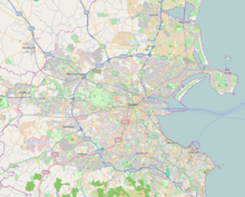
East Wall Road (Irish: Bóthar an Phoirt Thoir)[1] runs from the junction of the East-Link drawbridge and North Wall Quay, along the side of the northern part of Dublin port to the junction of the North Strand Road and Poplar Row.
- ^ "Bóthar an Phoirt Thoir/East Wall Road". Logainm.ie. Retrieved 9 March 2022.
