| Echo Valley Provincial Park | |
|---|---|
 Echo Valley Provincial Park | |
| Location | |
| Nearest city | Fort Qu'Appelle |
| Coordinates | 50°47′17″N 103°53′30″W / 50.7881°N 103.8917°W |
| Area | 654 ha (1,620 acres) |
| Established | 1960 |
| Governing body | Saskatchewan Parks |
 | |
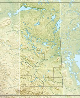
Echo Valley Provincial Park is a provincial park in the Canadian province of Saskatchewan, located west of the town of Fort Qu'Appelle in the Qu'Appelle Valley between Echo Lake and Pasqua Lake in the RM of North Qu'Appelle No. 187. The three main roads to access the park are Highways 210, 56, and 727.[1]
Echo Valley Provincial Park is situated on the southern shores and the isthmus between Echo[2] and Pasqua[3] Lakes with the northern boundary being the spot where the Qu'Appelle River cuts through the isthmus, which is called Sioux Crossing. There are two beach areas, one on each lake on either side of the isthmus. There are also over 300 campsites in the portion of the park on the south side of the lakes.[4]
- ^ "Provincial Parks". The Encyclopedia of Saskatchewan. University of Regina. Archived from the original on 20 September 2022. Retrieved 20 September 2022.
- ^ Government of Canada, Natural Resources Canada. "Place names - Echo Lake". www4.rncan.gc.ca.
- ^ Government of Canada, Natural Resources Canada. "Place names - Pasqua Lake". www4.rncan.gc.ca.
- ^ "Echo Valley Provincial Park | Tourism Saskatchewan".

