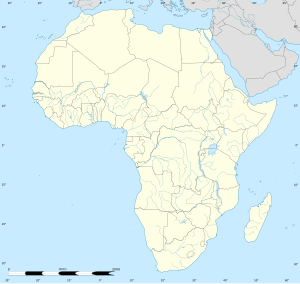
El Tor
الطور Ⲉⲗ Ⲧⲟⲣ | |
|---|---|
| Coordinates: 28°14′30″N 33°37′20″E / 28.24167°N 33.62222°E | |
| Country | |
| Governorate | |
| Area | |
• Total | 2,581 km2 (997 sq mi) |
| Elevation | 14 m (46 ft) |
| Population (2021)[1] | |
• Total | 43,720 |
| • Density | 17/km2 (44/sq mi) |
| Time zone | UTC+2 (EST) |
| Area code | (+20) 377 |
El Tor (Arabic: الطور aṭ-Ṭūr/et-Ṭūr Egyptian Arabic pronunciation: [etˈtˤuːɾ]), also romanized as Al-Tur and At-Tur and known as Tur Sinai, formerly Raithu, is a small city and the capital of the South Sinai Governorate of Egypt. The name of the city comes from the Arabic term for the mountain where the prophet Moses is believed to have received the Tablets of the Law from God; this mountain is designated Jabal Al Tor.
At-Tur itself appears to have been founded in the 13th century near the site of the ancient Raythou (medieval Raya).[2] The El tor strain of cholera was discovered there in 1905. It was a quarantine camp for Muslim pilgrims returning from Hajj (the Islamic pilgrimage to Mecca). Known for its springs, the city is an important tourist destination in the South Sinai Governorate along with Sharm El Sheikh and Saint Catherine.
- ^ a b c "Aṭ-Ṭūr (Kism (urban and rural parts), Egypt) - Population Statistics, Charts, Map and Location". citypopulation.de. Retrieved 17 March 2023.
- ^ Peacock, David; Peacock, Andrew (2008). "The Enigma of 'Aydhab: a Medieval Islamic Port on the Red Sea Coast". International Journal of Nautical Archaeology. 37 (1): 32–48. doi:10.1111/j.1095-9270.2007.00172.x. ISSN 1057-2414.


