| Elk Knob State Park | |
|---|---|
 A hiking trail at Elk Knob State Park | |
| Location | Watauga County, North Carolina, United States |
| Coordinates | 36°19′38″N 81°40′37″W / 36.32722°N 81.67694°W[1] |
| Area | 4,423 acres (17.90 km2)[2] |
| Elevation | 5,520 ft (1,680 m) |
| Established | 2003 |
| Named for | Elk Knob |
| Governing body | North Carolina Division of Parks and Recreation |
| Website | www |
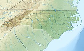
Elk Knob State Park is a 4,423-acre (17.90 km2)[2] North Carolina state park in Watauga County, North Carolina, in the United States. Opened in 2003, it is one of North Carolina's newest state parks. Elk Knob State Park was established to preserve the natural state of Elk Knob, the third highest peak in Watauga County.[3] The park is open for year-round recreation and is currently undergoing an expansion of facilities to provide greater recreational opportunities to visitors. Elk Knob State Park is on Meat Camp Road, 5.5 miles (8.9 km) from North Carolina Highway 194, 9.5 miles (15.3 km) north of Boone, in the Blue Ridge Mountains.
- ^ United States Geological Survey. "Elk Knob, USGS Zionville (TN, NC) Topo Map". TopoQuest. Archived from the original on November 25, 2020. Retrieved June 29, 2008.
- ^ a b Cite error: The named reference
ParkSizewas invoked but never defined (see the help page). - ^ Cite error: The named reference
DPR-Park-Histwas invoked but never defined (see the help page).

