Estherville Municipal Airport | |||||||||||||||
|---|---|---|---|---|---|---|---|---|---|---|---|---|---|---|---|
| Summary | |||||||||||||||
| Airport type | Public | ||||||||||||||
| Owner | City of Estherville | ||||||||||||||
| Serves | Estherville, Iowa | ||||||||||||||
| Elevation AMSL | 1,318.8 ft / 402 m | ||||||||||||||
| Coordinates | 43°24′26.9″N 094°44′47″W / 43.407472°N 94.74639°W | ||||||||||||||
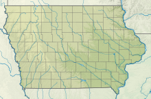
| Map | |||||||||||||||
 | |||||||||||||||
| Runways | |||||||||||||||
| |||||||||||||||
Estherville Municipal Airport (IATA: EST, ICAO: KEST, FAA LID: EST) is a public general aviation airport located four miles (six kilometers) east of Estherville, Emmet County, Iowa, United States. It is owned by the City of Estherville.[1]
- ^ a b FAA Airport Form 5010 for EST PDF, effective October 29, 2022

