Fajja
فجّة | |
|---|---|
| Etymology: from personal name[1] | |
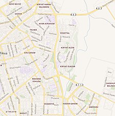
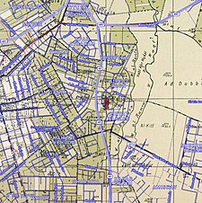
A series of historical maps of the area around Fajja (click the buttons) | |
Location within Mandatory Palestine | |
| Coordinates: 32°05′12″N 34°54′8″E / 32.08667°N 34.90222°E | |
| Palestine grid | 141/165 |
| Geopolitical entity | Mandatory Palestine |
| Subdistrict | Jaffa |
| Date of depopulation | May 15, 1948[3] |
| Area | |
| • Total | 4,419 dunams (4.4 km2 or 1.7 sq mi) |
| Population (1945) | |
| • Total | 1,200[2] |
| Cause(s) of depopulation | Whispering campaign |
| Current Localities | Petah Tikva[4] |
Fajja (Arabic: فجّة) was a Palestinian town located 15 kilometers northeast of Jaffa. Ethnically cleansed during the Nakba, its land area is today part of the Israeli city of Petah Tikva.


