| Fort Anjediva | |
|---|---|
| Part of Goa | |
| West Coast, India | |
 Fort Anjediva | |
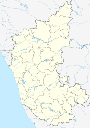
 Map of the Anjediva Island | |
| Coordinates | 14°45′36″N 74°06′38″E / 14.75987°N 74.11048°E |
| Type | Fort |
| Site information | |
| Owner | Government of Goa |
| Controlled by | |
| Open to the public | Restricted |
| Condition | Ruins |
| Site history | |
| Built | 1505 |
| Built by | Dom Francisco de Almeida of the Portuguese. |
| Materials | Granite Stones and mud |
| Demolished | Yes |
| Garrison information | |
| Garrison | Indian Navy |
| Occupants | Indian Navy |
Fort Anjediva, built on the Anjadip Island, off the coast of the Indian state of Karnataka but under the administrative jurisdiction of the Indian state of Goa, was once under Portuguese rule. The island of Anjadip has an area of 1.5 square kilometres (0.58 sq mi).[1]
Though the fort has a rich history linked to rule in Portuguese India, the fort is presently in ruins. The historic church on the island in its vicinity, the Church of Our Lady of Springs, was built in 1505. The Chapel of Francis of Assisi is also located here but it is in ruins.
- ^ Francisco S. d'abreu. "Anjediva — 1". by Colaco.net. Archived from the original on 2011-05-27. Retrieved 2009-10-10.

