| Franklin Mountains State Park | |
|---|---|
 | |
| Nearest city | El Paso |
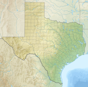
| Coordinates | 31°53′01″N 106°30′08″W / 31.88361°N 106.50222°W |
| Length | 23 mi (37 km) |
| Width | 3 mi (4.8 km) |
| Area | 24,247 acres (98.12 km2) |
| Elevation | 5,426 ft (1,654 m) |
| Designated | 1987 |
| Named for | Benjamin Franklin Coons |
| Visitors | 78,043 (in 2022)[1] |
| Administrator | Texas Parks and Wildlife |
| Website | TPWD website |


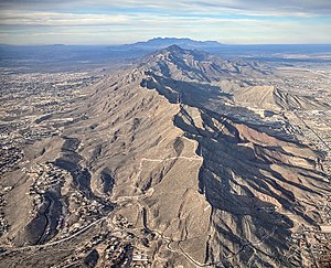
Franklin Mountains State Park is a state park in El Paso, Texas, United States. The park is named after the Franklin Mountains, a mountainous range that extends 23 mi (37 km) from El Paso to New Mexico. Its headquarters are located at an elevation of 5,426 feet (1,654 m) with the highest peak, North Franklin Mountain, reaching 7,192 feet (2,192 m).[2] Covering 24,247.56 acres (9,813 ha), it is one of the largest urban parks in the U.S. lying completely within city limits.[3] The park is open year-round for recreational activities such as hiking, mountain biking, picnicking, and scenic driving.
- ^ Christopher Adams. "What is the most visited state park in Texas? Here's the top 10 countdown". KXAN.com. Retrieved November 21, 2023.
- ^ "Franklin Mountains State Park Trail Network". Geographic Names Information System. United States Geological Survey. February 18, 2004. Retrieved June 30, 2010.
- ^ "Franklin Mountain State Park". Texas Parks and Wildlife Department. Retrieved July 22, 2009.

