This article needs additional citations for verification. (February 2013) |


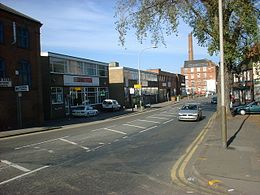
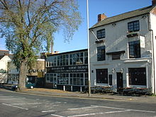
Frog Island is an inner city area of Leicester, England, so named because it lies between the River Soar and the Soar Navigation (a continuation of the original Grand Union Canal). Frog Island is adjacent to the Woodgate area to the north, and Northgates to the South. The population of the island was at the 2011 census in the Abbey ward of Leicester City Council.

