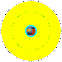


USA-242 · USA-239 · USA-151 · Earth
Note: This animation does not reflect actual orbits which are approximately 350 times denser than these.
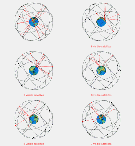
GPS satellite blocks are the various production generations of the Global Positioning System (GPS) used for satellite navigation. The first satellite in the system, Navstar 1, was launched by the United States Air Force on 22 February 1978.[1] The GPS satellite constellation is now operated by the 2nd Space Operations Squadron (2SOPS) of Space Delta 8, United States Space Force.
The GPS satellites circle the Earth at an altitude of about 20,000 km (12,427 miles) and complete two full orbits every day.[2]
- ^ "Navstar 1". gsfc.nasa.gov. NASA. 27 April 2016. Retrieved 25 July 2016.
 This article incorporates text from this source, which is in the public domain.
- ^ "The Global Positioning System". harvard.edu.