Ghuraba
غرابة | |
|---|---|
Village | |
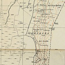
A series of historical maps of the area around Ghuraba (click the buttons) | |
Location within Mandatory Palestine | |
| Coordinates: 33°07′17″N 35°38′45″E / 33.12139°N 35.64583°E | |
| Palestine grid | 210/280 |
| Geopolitical entity | Mandatory Palestine |
| Subdistrict | Safad |
| Date of depopulation | May 28, 1948[2] |
| Population (1945) | |
| • Total | 220[1] |
| Cause(s) of depopulation | Fear of being caught up in the fighting |
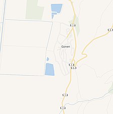
| Current Localities | Gonen[3] |
Ghuraba (Arabic: غرابة) was a Palestinian Arab village in the Safad Subdistrict. It was depopulated during the 1948 War on May 28, 1948, by the Palmach's First Battalion of Operation Yiftach. It was located 22 km northeast of Safad.
In 1945 it had a population of 220 Muslims.[1]


