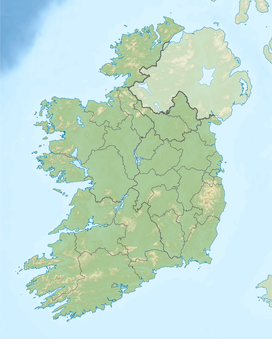
| Glenmalure | |
|---|---|
| Gleann Molúra | |
 Glenmalure Valley | |
| Length | 20 km (12 mi)[1] NW-SE |
| Width | 0.8 km (0.50 mi)[1] |
| Area | 405 Ma[1] |
| Depth | 0.35 km (0.22 mi)[1] |
| Geology | |
| Type | U-shaped glacial valley[1] |
| Geography | |
| Location | Wicklow Mountains, Ireland |
| Borders on | |
| Coordinates | 52°57′30″N 6°21′25″W / 52.958262°N 6.356945°W |
| Topo map | OSi Discovery 56 |
| Traversed by | The Glen Road |
| Rivers | River Avonbeg |
Glenmalure (Irish: Gleann Molúra)[2] is a 20-kilometre long U-shaped glacial valley in the Wicklow Mountains in Ireland.[1] Glenmalure is an important base for climbing in the Wicklow mountains, and particularly accessing the massif of Lugnaquilla, and contains one of the earliest An Óige youth hostels in Ireland. Glenmalure was also an important historical area and the site of the Battle of Glenmalure in 1580, as well as various events in the Irish Rebellion of 1798.
- ^ a b c d e f "WICKLOW - COUNTY GEOLOGICAL SITE REPORT: Glenmalure Valley" (PDF). Geological Survey of Ireland. 2014. Archived (PDF) from the original on 18 July 2019. Retrieved 18 July 2019.
- ^ Glenmalur Archived 22 September 2011 at the Wayback Machine Placenames Database of Ireland. Retrieved: 2011-04-12.
