Gmina Kolbudy
Kolbudy Commune | |
|---|---|
| Coordinates (Kolbudy): 54°16′15″N 18°28′20″E / 54.27083°N 18.47222°E | |
| Country | |
| Voivodeship | Pomeranian |
| County | Gdańsk |
| Seat | Kolbudy |
| Area | |
• Total | 82.8 km2 (32.0 sq mi) |
| Population (2021) | |
• Total | 17,256[1] |
| Website | http://www.kolbudy.pl |
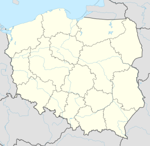
Gmina Kolbudy is a rural gmina (administrative district) in Gdańsk County, Pomeranian Voivodeship, in northern Poland. Its seat is the village of Kolbudy, which lies approximately 11 kilometres (7 mi) west of Pruszcz Gdański and 15 km (9 mi) south-west of the regional capital Gdańsk.
The gmina covers an area of 82.8 square kilometres (32.0 sq mi), and as of 2006 its total population is 12,042. It is divided into 20 sołectwos. Its largest village is Kowale.
- ^ "Dane Urzędu gminy dot. ludności sołectwa". www.kolbudy.pl. 3 March 2021.

