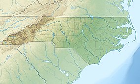
| Gorges State Park | |
|---|---|
 Gorges State Park Visitor Center | |
| Location | Transylvania, North Carolina, United States |
| Coordinates | 35°04′12″N 82°55′16″W / 35.07000°N 82.92111°W |
| Area | 7,709 acres (31.20 km2)[1] |
| Elevation | 1,900 ft (580 m) |
| Established | 1999 |
| Named for | Jocasee Gorges |
| Governing body | North Carolina Division of Parks and Recreation |
| Website | Gorges State Park |
Gorges State Park is a 7,709-acre (31.20 km2)[1] North Carolina state park in Transylvania County, North Carolina in the United States and along with other conservation lands is part of a 100,000+ acre conservation corridor stretching some 80 miles along the NC/SC state line. The land, along Jocassee Gorges, was purchased by the state from Duke Energy Corporation in 1999. It is North Carolina's westernmost state park and one of the state's newest. The park is adjacent to part of the Pisgah National Forest and the N.C. Wildlife Resources Commission's Toxaway Game Land. Gorges State Park provides the principal access to the Horsepasture River on these adjoining public lands.

