 Map of Gough Island | |
| Geography | |
|---|---|
| Location | South Atlantic Ocean |
| Coordinates | 40°19′12″S 09°56′24″W / 40.32000°S 9.94000°W |
| Archipelago | Tristan da Cunha |
| Area | 65 km2 (25 sq mi) |
| Length | 13 km (8.1 mi) |
| Width | 5 km (3.1 mi) |
| Highest elevation | 910 m (2990 ft) |
| Highest point | Edinburgh Peak |
| Administration | |
United Kingdom | |
| St Helena, Ascension and Tristan da Cunha | |
| Criteria | Natural: (vii), (x) |
| Reference | 740 |
| Inscription | 1995 (19th Session) |
 | |
| Designated | 20 November 2008 |
| Reference no. | 1868[1] |

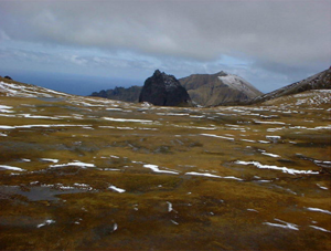
Gough Island (/ɡɒf/ GOF), also known historically as Gonçalo Álvares, is a rugged volcanic island in the South Atlantic Ocean. It is a dependency of Tristan da Cunha and part of the British overseas territory of Saint Helena, Ascension and Tristan da Cunha. It is approximately 400 km (250 mi) south-east of the Tristan da Cunha archipelago (which includes Nightingale Island and Inaccessible Island), 2,400 km (1,500 mi) north-east from South Georgia Island, 2,700 km (1,700 mi) west from Cape Town, and over 3,200 km (2,000 mi) from the nearest point of South America.
Gough Island is uninhabited, except for the personnel of a weather station (usually six people) that the South African National Antarctic Programme has maintained, with British permission, continually on the island since 1956. It is one of the most remote places with a constant human presence. It is part of the UNESCO World Heritage Site of "Gough and Inaccessible Island". It is one of the most important seabird colonies in the world.[2][3][4]
- ^ "Gough Island". Ramsar Sites Information Service. Archived from the original on 30 May 2018. Retrieved 25 April 2018.
- ^ Swales, M. K. (1965). The sea‐birds of Gough Island. Ibis, 107(2), 215-229.
- ^ BirdLife International, 2017. "Important Bird Areas factsheet: Gough Island." [1]
- ^ Caravaggi, A., Cuthbert, R. J., Ryan, P. G., Cooper, J., & Bond, A. L. (2019). The impacts of introduced House Mice on the breeding success of nesting seabirds on Gough Island. Ibis, 161(3), 648-661.
