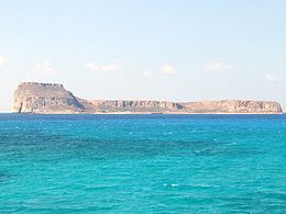
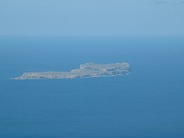
Native name: Ημερη Γραμβούσα | |
|---|---|
 Imeri Gramvousa | |
 | |
| Geography | |
| Coordinates | 35°36′40″N 23°34′45″E / 35.61111°N 23.57917°E |
| Archipelago | Cretan Islands |
| Administration | |
Greece | |
| Region | Crete |
| Regional unit | Chania |
| Demographics | |
| Population | 0 |
Native name: Αγρια Γραμβούσα | |
|---|---|
 Agria Gramvousa | |
 | |
| Geography | |
| Coordinates | 35°38′30″N 23°35′10″E / 35.64167°N 23.58611°E |
| Archipelago | Cretan Islands |
| Administration | |
Greece | |
| Region | Crete |
| Regional unit | Chania |
| Demographics | |
| Population | 0 |
Gramvousa, also Grampousa (Greek: Γραμβούσα or Γραμπούσα, further names include Akra, Cavo Buso, Cavo Bouza, Garabusa and Grabusa), refers to two small uninhabited islands off the coast of a peninsula also known Gramvousa Peninsula (Greek: Χερσόνησος Γραμβούσας) in north-western Crete in the regional unit of Chania.[1] The Gramvousa Peninsula forms the more westerly of the two pairs of peninsulae in northwestern Crete (the other being Rodopos Peninsula), and is the western part of Kissamos Bay.
The Gramvousa islands are administered by the municipality of Kissamos.
- ^ Γραμβούσα - Μπάλος Archived 2011-07-21 at the Wayback Machine Greek Panorama, Issue 27, May/June 2002 (Greek)