| Great End | |
|---|---|
 Great End from the top of Grains Gill | |
| Highest point | |
| Elevation | 910 m (2,990 ft) |
| Prominence | 56 m (184 ft) |
| Parent peak | Ill Crag |
| Listing | Hewitt, Wainwright, Nuttall |
| Coordinates | 54°27′50″N 3°11′38″W / 54.464°N 3.194°W |
| Geography | |
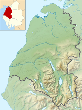
Location in the Lake District National Park | |
| Location | Cumbria, England |
| Parent range | Lake District, Southern Fells |
| OS grid | NY226084 |
| Topo map | OS Landrangers 89, 90, Explorer OL6 |
| Name | Grid ref | Height | Status |
|---|---|---|---|
| Round How | NY218081 | 741 m (2,431 ft) | Nuttall |
Great End is the most northerly mountain in the Scafell chain, in the English Lake District. From the south it is simply a lump continuing this chain. From the north, however, it appears as an immense mountain, with an imposing north face rising above Sprinkling Tarn (lake). This is a popular location for wild camping, and the north face attracts many climbers.
Alfred Wainwright wrote of Great End in his Pictorial Guide to the Lakeland Fells: "This is the true Lakeland of the fellwalker, the sort of terrain that calls him back time after time, the sort of memory that haunts his long winter exile. It is not the pretty places – the flowery lanes of Grasmere or Derwentwater's wooded bays – that keep him restless in his bed; it is the magnificent ones. Places like Great End..."[1]
- ^ Wainwright, A. (2003). "Great End". A Pictorial Guide to the Lakeland Fells, Book 4 The Southern Fells. London: Francis Lincoln. p. 2. ISBN 0-7112-2230-4.


