This article needs additional citations for verification. (June 2012) |
| Green Hill | |
|---|---|
 Green Hill—the cairn marks the summit | |
| Highest point | |
| Elevation | 628 m (2,060 ft)[1] |
| Prominence | 24m. (79 ft) |
| Parent peak | Great Coum |
| Listing | Nuttall, sub-Hewitt |
| Coordinates | 54°13′59″N 2°27′28″W / 54.2331°N 2.4579°W |
| Geography | |
| Location | Lancashire-Cumbria, |
| OS grid | SD701820 |
| Topo map | OS Landranger 98 |
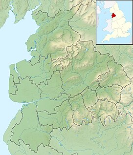
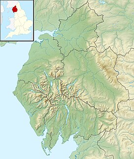
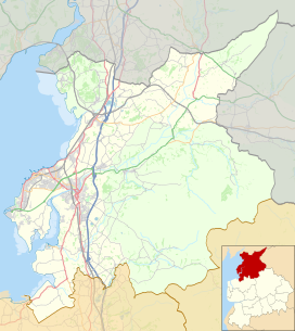
Green Hill is a mountain or fell in north west England. Its summit is 628 metres (2,060 ft) above sea level.[1] It is located above Cowan Bridge, Lancashire, near Kirkby Lonsdale, Cumbria, and Ingleton, North Yorkshire. Its summit is about 4 kilometres (2+1⁄2 miles) almost due west of the summit of Whernside. It forms the watershed between the River Dee and the Leck Beck: both are tributaries of the River Lune.
- ^ a b Bathurst, David (2012). Walking the county high points of England. Chichester: Summersdale. pp. 224–233. ISBN 978-1-84-953239-6.


