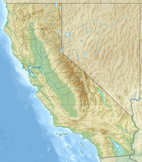
| Guadalupe Creek Los Capitancillos Creek[1] | |
|---|---|
 View overlooking man-made Cherry Springs Pond, the source of Cherry Springs Creek, tributary to Hicks Creek and thence to Guadalupe Creek | |
| Location | |
| Country | United States |
| State | California |
| Region | Santa Clara County |
| City | Blossom Valley, San Jose, California |
| Physical characteristics | |
| Source | Mount Umunhum |
| • location | Santa Clara County, California |
| • coordinates | 37°09′31″N 121°53′59″W / 37.15861°N 121.89972°W[1] |
| • elevation | 3,161 ft (963 m)[2] |
| Mouth | Guadalupe River |
• coordinates | 37°14′48″N 121°52′16″W / 37.24667°N 121.87111°W[1] |
• elevation | 197 ft (60 m)[1] |
| Basin features | |
| Tributaries | |
| • left | Rincon Creek (Santa Clara County, California), Hicks Creek, Pheasant Creek, Shannon Creek |
| • right | Los Capitancillos Creek |
Guadalupe Creek is a 10.5 miles (16.9 km) northward-flowing stream originating just east of the peak of Mount Umunhum in Santa Clara County, California, United States. It courses along the northwestern border of Almaden Quicksilver County Park in the Cañada de los Capitancillos before joining Los Alamitos Creek after the latter exits Lake Almaden. This confluence forms the Guadalupe River mainstem, which in turn flows through San Jose and empties into south San Francisco Bay at Alviso Slough.
- ^ a b c d U.S. Geological Survey Geographic Names Information System: Guadalupe Creek
- ^ U.S. Geological Survey. National Hydrography Dataset high-resolution flowline data. The National Map Archived 2012-03-29 at the Wayback Machine, accessed April 11, 2013
