| Hallevannet | |
|---|---|
 | |
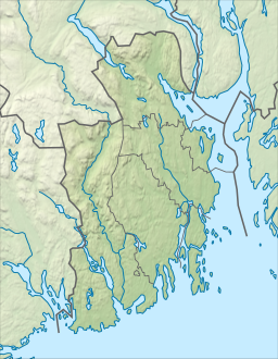
| Location | Larvik Municipality, Vestfold |
| Coordinates | 59°01′32″N 9°54′26″E / 59.02561°N 9.90727°E |
| Basin countries | Norway |
| Max. length | 5.9 kilometres (3.7 mi) |
| Max. width | 4.8 kilometres (3.0 mi) |
| Surface area | 3.72 km2 (1.44 sq mi) |
| Shore length1 | 34 kilometres (21 mi) |
| Surface elevation | 48 metres (157 ft) |
| References | NVE[1] |
| 1 Shore length is not a well-defined measure. | |
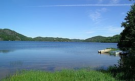
Hallevannet is a lake in Larvik Municipality in Vestfold county, Norway. The 3.72-square-kilometre (1.44 sq mi) lake lies about 8 kilometres (5.0 mi) to the west of the town of Larvik and about 4 kilometres (2.5 mi) to the northeast of the village of Helgeroa. The European route E18 highway and the Vestfoldbanen railway line both pass along the northern end of the lake.
- ^ "Innsjødatabase". NVE.no (in Norwegian). Retrieved 10 November 2023.

