Hamhŭng
함흥시 | |
|---|---|
| Korean transcription(s) | |
| • Chosŏn'gŭl | 함흥시 |
| • Hancha | 咸興市 |
| • McCune-Reischauer | Hamhŭng-si |
| • Revised Romanization | Hamheung-si |
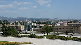
Clockwise from top: view of Hamhung city, Hamhung Royal Villa, Majon Beach Resort, an industrial plant in Hamhung, Hamhŭng Grand Theatre | |
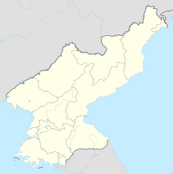
 Map of South Hamgyong showing the location of Hamhung | |
 | |
| Coordinates: 39°55′N 127°32′E / 39.917°N 127.533°E | |
| Country | |
| Region | Kwannam |
| Province | South Hamgyong |
| Administrative divisions | 7 kuyok |
| Area | |
| • Total | 330 km2 (130 sq mi) |
| Population (2008) | |
| • Total | 768,551 |
| • Density | 2,328/km2 (6,030/sq mi) |
| • Dialect | Hamgyŏng |
| Time zone | UTC+9 (Pyongyang Time) |
Hamhŭng (Hamhŭng-si; Korean pronunciation: [hamɣɯŋ]) is North Korea's second-most populous city, and the capital of South Hamgyŏng Province. Located in the southern part of the South Hamgyong province, Hamhung is the main and most populous metropolitan area in the province. Hamhung was centrally planned and built by the government of North Korea.


