| Harold Parker State Forest | |
|---|---|
 Bridge crossing on one of the forest's many challenging single-track mountain biking trails Berry Pond Stearns Pond | |
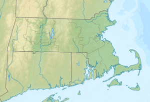
| Location | Andover, North Andover, North Reading, Middleton, Essex, Massachusetts, United States |
| Coordinates | 42°37′33″N 71°04′54″W / 42.62583°N 71.08167°W[1] |
| Area | 3,320 acres (13.4 km2)[2] |
| Elevation | 141 ft (43 m)[1] |
| Established | 1916 |
| Operator | Massachusetts Department of Conservation and Recreation |
| Website | Harold Parker State Forest |
Harold Parker State Forest is a publicly owned forest with recreational features encompassing more than 3,300 acres (1,300 ha) in the towns of Andover, North Andover, North Reading, and Middleton, Massachusetts. Ponds, swamps, rolling hills, glacial erratics and rocky outcroppings can be found in the state forest, which features more than 35 miles (56 km) of backwoods roads and trails as well as remnants of 18th-century farming and milling operations. It is managed by the Massachusetts Department of Conservation and Recreation.[3]
- ^ a b "Harold Parker State Forest". Geographic Names Information System. United States Geological Survey, United States Department of the Interior.
- ^ Cite error: The named reference
2012acreagelistwas invoked but never defined (see the help page). - ^ Cite error: The named reference
dcrwas invoked but never defined (see the help page).


