You can help expand this article with text translated from the corresponding article in Japanese. (May 2019) Click [show] for important translation instructions.
|
Harumi
晴海 | |
|---|---|
District | |
 Harumi passenger ship terminal | |
| Coordinates: 35°39′34.83″N 139°47′5.64″E / 35.6596750°N 139.7849000°E | |
| Country | |
| City | |
| Ward | |
| Population (September 1, 2019)[1] | |
| • Total | 16,120 |
| Time zone | UTC+9 (JST) |
| Postal code | 104-0053[2] |
| Area code | 03[3] |
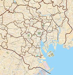
Harumi (晴海) is a district of Chūō, Tokyo. The district contains five chōme (subdivisions), and the postal code is 104-0053.[2] Harumi is located on reclaimed land, created by dropping earth and sediment generated from expanding Tokyo Bay. The construction took place starting in the middle of the Meiji era and was completed early in the Showa era. Before an official name was decided for the district, it was called Tsukishima No. 4.


