| Honobia Creek Wildlife Management Area | |
|---|---|
| Honobia Creek WMA | |
IUCN category V (protected landscape/seascape) | |
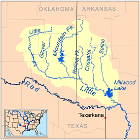
 Map of the Little River watershed through Honobia Creek WMA | |
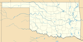
| Location | Pushmataha, Le Flore, and McCurtain Counties, Oklahoma |
| Nearest city | Rattan, Oklahoma |
| Coordinates | 34°22′33″N 95°14′48″W / 34.37583°N 95.24667°W (Cloudy Nashoba Trail) |
| Area | 97,758.18 acres (395.6133 km2) |
| Governing body | Private land managed by the Oklahoma Department of Wildlife Conservation (ODWC) |
Honobia Creek Wildlife Management Area is a protected area of privately owned land located in Pushmataha, Le Flore, and McCurtain Counties, Oklahoma, totaling 97,758.18 acres (39,561.33 ha), and managed by the Oklahoma Department of Wildlife Conservation (ODWC).[1]
- ^ Honobia Creek WMA- Retrieved 2019-09-29
