| Hopemead State Park | |
|---|---|
 Park entrance | |
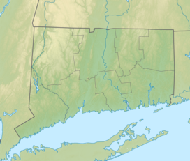
| Location | Bozrah & Montville, Connecticut, United States |
| Coordinates | 41°31′02″N 72°13′03″W / 41.51722°N 72.21750°W |
| Area | 60 acres (24 ha)[1] |
| Elevation | 377 ft (115 m)[2] |
| Established | 1954 |
| Administered by | Connecticut Department of Energy and Environmental Protection |
| Designation | Connecticut state park |
| Website | Official website |
Hopemead State Park is an undeveloped public recreation area on the eastern shore of Gardner Lake, 8 miles (13 km) west of Norwich, Connecticut. The state park covers 60 acres (24 ha) in the towns of Bozrah and Montville and is managed by the Connecticut Department of Energy and Environmental Protection.[1]
- ^ a b Cite error: The named reference
DEEPwas invoked but never defined (see the help page). - ^ "Gardner Lake". Geographic Names Information System. United States Geological Survey, United States Department of the Interior.

