| Hornby | |
|---|---|
 Main Street | |
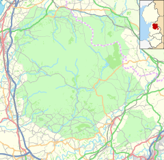
Location within Lancashire | |
| Area | 0.2025 km2 (0.0782 sq mi) |
| Population | 468 (2011 census) |
| • Density | 2,311/km2 (5,990/sq mi) |
| Civil parish | |
| District | |
| Shire county | |
| Region | |
| Country | England |
| Sovereign state | United Kingdom |
| Website | https://www.hornbyvillage.org.uk/ |
Hornby is a village and former civil parish located 9 miles (14 km) from Lancaster,[1] now part of the parish of Hornby-with-Farleton, within the Lancaster district of the county of Lancashire, England. Situated on the A683[2] the village lies at the confluence of the River Wenning and Lune[3] In 2011 the built up area had a population of 468.[4] In 1881, the parish had a population of 358.[5]
- ^ "Distance from Hornby [54.119826, -2.629412]". GENUKI. Retrieved 5 July 2020.
- ^ "Welcome to our Website". Hornby With Farleton. Retrieved 5 July 2020.
- ^ "Hornby". GENUKI. Retrieved 5 July 2020.
- ^ UK Census (2011). "Local Area Report – Hornby Built-up area (E34003990)". Nomis. Office for National Statistics. Retrieved 5 July 2020.
- ^ "Population statistics Hornby Ch/CP through time". A Vision of Britain. Retrieved 5 July 2020.


