| Houston River | |
|---|---|
 | |
| Location | |
| Country | United States |
| State | Louisiana |
| Parish | Calcasieu |
| Physical characteristics | |
| Source | Confluence of bayous/forests/Bear Head Creek |
| • location | Near Starks in Calcasieu Parish, Louisiana, United States |
| • coordinates | 30°20′01″N 93°37′47″W / 30.3337°N 93.6298°W |
| Mouth | West Fork Calcasieu River |
• location | Near Westlake in Calcasieu, Calcasieu Parish, Louisiana, United States |
• coordinates | 30°17′41″N 93°16′28″W / 30.2948°N 93.2745°W |
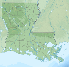
Houston River begins at the crossing of LA 12, northeast of Starks, at the mouth of Bear Head creek in Calcasieu Parish, Louisiana, and terminates at the confluence with the West Fork Calcasieu River on the southwest border of Sam Houston Jones State Park.
