| Hueston Woods State Park | |
|---|---|
 Hueston Woods Covered Bridge | |
| Location | Butler and Preble counties, Ohio, United States |
| Coordinates | 39°34′21″N 84°44′29″W / 39.57250°N 84.74139°W[1] |
| Area | 2,936 acres (1,188 ha)[2] |
| Elevation | 938 ft (286 m)[1] |
| Established | 1957 |
| Administered by | Ohio Department of Natural Resources |
| Designation | Ohio state park |
| Website | Hueston Woods State Park |
| Acton Lake | |
|---|---|
 Acton Lake | |
| Location | Southwestern Ohio |
| Coordinates | 39°34′19″N 84°44′53″W / 39.57194°N 84.74806°W[3] |
| Lake type | Reservoir |
| Basin countries | United States |
| Max. length | 2.3 mi (3.7 km) |
| Max. width | 0.5 mi (0.80 km) |
| Surface area | 625 acres (253 ha)[4] |
| Surface elevation | 860 ft (260 m)[3] |
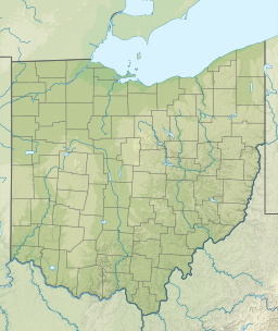
Hueston Woods State Park is a state park located in Butler and Preble counties of the U.S. state of Ohio, about five miles (8 km) northeast of Oxford in the southwestern part of the state. The park lies in Oxford Township, Butler County, and Israel Township, Preble County. It has nearly 3,000 acres (1,200 ha), including a man-made lake of 625 acres (253 ha).[4] The park's beech-maple climax forest has been designated a National Natural Landmark.[5]
- ^ a b "Hueston Woods State Park". Geographic Names Information System. United States Geological Survey, United States Department of the Interior.
- ^ Cite error: The named reference
odnr2007was invoked but never defined (see the help page). - ^ a b "Acton Lake". Geographic Names Information System. United States Geological Survey, United States Department of the Interior.
- ^ a b Cite error: The named reference
odnrwas invoked but never defined (see the help page). - ^ Cite error: The named reference
nnlwas invoked but never defined (see the help page).


