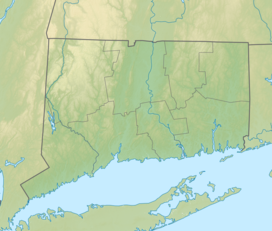
| Humaston Brook State Park | |
|---|---|
| Location | Litchfield, Connecticut, United States |
| Coordinates | 41°42′04″N 73°06′25″W / 41.70111°N 73.10694°W[1] |
| Area | 147 acres (59 ha)[2] |
| Elevation | 686 ft (209 m)[1] |
| Established | 1920 |
| Administered by | Connecticut Department of Energy and Environmental Protection |
| Designation | Connecticut state park |
| Website | Official website |
Northfield Knife Company Site | |
 Marker at the dam | |
| Location | Knife Shop Rd., Litchfield, Connecticut |
| Area | less than one acre |
| Built | 1858 |
| NRHP reference No. | 97000275 |
| Added to NRHP | April 8, 1997 |
Humaston Brook State Park is an under-developed day use state park located in the village of Northfield, Connecticut. It preserves a stretch of Humaston Brook, a tributary of the Naugatuck River. Its major feature is Northfield Pond, created by damming in the 19th century. It is commonly known by residents as Knife Shop Pond. It also includes the foundations of the former Northfield Knife Company located along the banks of the brook below the dam, which was the location of one of Litchfield's largest 19th-century employers.[3] Activities in the park include hiking and fishing.[2]
- ^ a b "Northfield Pond". Geographic Names Information System. United States Geological Survey, United States Department of the Interior.
- ^ a b Cite error: The named reference
DEEPwas invoked but never defined (see the help page). - ^ Cite error: The named reference
blogwas invoked but never defined (see the help page).

