Ijlil al-Qibliyya
إجليل القبلية Jalil al-Qibliyya[1] | |
|---|---|
 Remains of Ijlil al-Qibliyya, in 2010 | |
| Etymology: El Jelil, meaning "illustrious/grand" (Ar), or "a district/circuit"(He)[2] | |
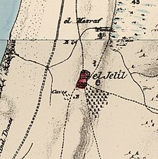
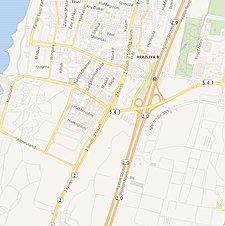
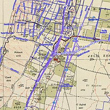
A series of historical maps of the area around Ijlil al-Qibliyya (click the buttons) | |
Location within Mandatory Palestine | |
| Coordinates: 32°09′36″N 34°48′42″E / 32.16000°N 34.81167°E | |
| Palestine grid | 132/174 |
| Geopolitical entity | Mandatory Palestine |
| Subdistrict | Jaffa |
| Date of depopulation | End of March- April 3, 1948[5] |
| Area | |
| • Total | 8,692 dunams (8.692 km2 or 3.356 sq mi) |
| Population (1945) | |
| • Total | 470[3][1][4] |
| Cause(s) of depopulation | Fear of being caught up in the fighting |
Ijlil al-Qibliyya, also al-Jalil, was a Palestinian Arab village in the Jaffa Subdistrict. It was depopulated during the 1947–1948 Civil War in Mandatory Palestine on April 3, 1948.
In 1945 the village has a population of 680, 210 of which were Jewish. Ijlil al-Qibliya was named after al-Shaykh Salih 'Abd al-Jalil, whose maqam was located in the village.


