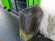


Irish measure or plantation measure was a system of units of land measurement used in Ireland from the 16th century plantations until the 19th century, with residual use into the 20th century. The units were based on "English measure" but used a linear perch measuring 7 yards (6.4 m) as opposed to the English rod of 5.5 yards (5.0 m). Thus, linear units such as the furlong and mile, which were defined in terms of perches, were longer by a factor of 14:11 (~27% more) in Irish measure, while units of area, such as the rood or acre, were larger by 196:121 (~62% more). The Weights and Measures Act 1824 (5 Geo. 4. c. 74) mandated the use throughout the British Empire of "Imperial measure", also called "statute measure", based on English measure. Imperial measure soon replaced Irish measure in the use of the Dublin Castle administration, but Irish measure persisted in local government, and longer still in private use.