Kahalgaon
Colgong | |
|---|---|
Town | |
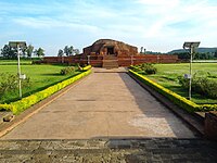
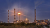
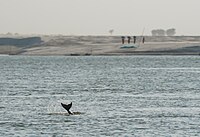
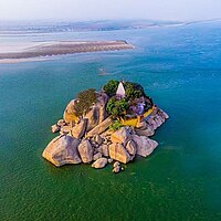
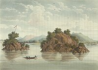
Vikramshila,Kahalgaon Super Thermal Power Station, Vikramshila Gangetic Dolphin Sanctuary, Mountain of Kahalgaon and The rocks of Colgong | |
| Nickname: CITY OF 7th NTPC | |
| Coordinates: 25°16′N 87°13′E / 25.27°N 87.22°E | |
| Country | |
| State | Bihar |
| District | Bhagalpur |
| Subdivision | Kahalgaon subdivision |
| Block | Kahalgaon block |
| Assembly constituency | Kahalgaon constituency and Pirpainti constituency |
| Ward | 17 |
| Government | |
| • Type | Municipality |
| Area | |
| • Total | 297 km2 (115 sq mi) |
| • Town | 6 km2 (2 sq mi) |
| Elevation | 16 m (52 ft) |
| Population (2023) | |
| • Total | 55,000 |
| • Density | 190/km2 (480/sq mi) |
| Language | |
| • Official | Hindi[1] |
| • Additional official | Urdu[1] |
| • Regional | Angika[2] |
| Time zone | UTC+5:30 (IST) |
| Vehicle registration | BR 10 |
Preview warning: Page using Template:Infobox settlement with unknown parameter "Region"
Kahalgaon (formerly known as Colgong during British rule) is a municipality Town and one of 3 sub-divisions of Bhagalpur district in the state of Bihar, India.[3] It is located close to the Vikramashila, that was once a famous centre of Buddhist learning across the world, along with Nalanda, during the Pala dynasty. The Kahalgaon Super Thermal Power Plant (KhSTPP) is located near the town (3 km).Kahalgaon Was Capital (capital-in-exile) Of Jaunpur Sultanate (1494-1505).[4]
- ^ a b "52nd REPORT OF THE COMMISSIONER FOR LINGUISTIC MINORITIES IN INDIA" (PDF). nclm.nic.in. Ministry of Minority Affairs. Archived from the original (PDF) on 25 May 2017. Retrieved 4 October 2019.
- ^ Masica, Colin P. (9 September 1993). The Indo-Aryan Languages. Cambridge University Press. p. 12. ISBN 978-0-521-29944-2.
- ^ Bose, Ruma (23 September 2019). Walking with Pilgrims: The Kanwar Pilgrimage of Bihar, Jharkhand and the Terai of Nepal. Routledge. p. 127. ISBN 978-1-000-73250-4.
- ^ Hussain, Ejaz (2017). Shiraz-i Hind: A History of Jaunpur Sultanate. Manohar. pp. 76–78.
