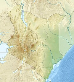
Kakamega | |
|---|---|
Location in Kenya | |
| Coordinates: 0°16′56″N 34°45′14″E / 0.28215°N 34.75400°E | |
| Country | Kenya |
| County | Kakamega County |
| Elevation | 1,535 m (5,036 ft) |
| Population (2019 census) | 107,227 |
| Time zone | UTC+3 (EAT) |
Kakamega is a town in western Kenya lying about 30 km north of the Equator. It is the headquarters of Kakamega County that has a population of 1,867,579 (2019 census).[1] The town has an urban population of 107,227 (2019 census).[2]
Kakamega is 52 km north of Kisumu, and considered the heart of Luhya land. The average elevation of Kakamega is 1,535 metres.
The county has 12 constituencies in total, namely Butere, Mumias East, Mumias West, Matungu, Khwisero, Shinyalu, Lurambi, ikolomani, Lugari, Malava, Navakholo and Likuyani.
- ^ "Archived copy" (PDF). Archived from the original (PDF) on 23 February 2013. Retrieved 4 January 2013.
{{cite web}}: CS1 maint: archived copy as title (link) - ^ "Kakamega (Kakamega, Western Kenya, Kenya) - Population Statistics, Charts, Map, Location, Weather and Web Information". www.citypopulation.de. Retrieved 10 February 2024.

