| Kalakan | |
|---|---|
 Kalakan river course | |
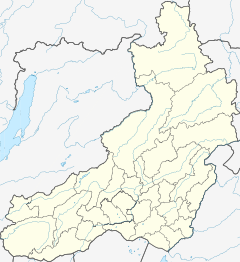
Mouth location in Transbaikalia, Russia | |
| Location | |
| Country | Russia |
| Federal subject | Zabaykalsky Krai |
| Physical characteristics | |
| Source | Kalakan Range South Siberian System |
| • coordinates | 55°39′48″N 119°23′52″E / 55.66333°N 119.39778°E |
| Mouth | Vitim |
• coordinates | 55°07′14″N 116°45′42″E / 55.12056°N 116.76167°E |
• elevation | 802 m (2,631 ft) |
| Length | 314 km (195 mi) |
| Basin size | 10,600 km2 (4,100 sq mi) |
| Discharge | |
| • average | 78 m3/s (2,800 cu ft/s) |
| Basin features | |
| Progression | Vitim→ Lena→ Laptev Sea |
The Kalakan (Russian: Калакан) is a river in Transbaikalia, southern East Siberia, Russia. It is 314 kilometres (195 mi) long, and has a drainage basin of 10,600 square kilometres (4,100 sq mi).[1][2][3] The Kalakan gives its name to the Kalakan Range, as well as to the Kalakan Depression.[2][4]
The Kalakan river is a destination for rafting. Taimen and lenok are among the fish species found in the river.[2]
- ^ "Река Калакан in the State Water Register of Russia". textual.ru (in Russian).
- ^ a b c Cite error: The named reference
WRwas invoked but never defined (see the help page). - ^ Google Earth
- ^ Энциклопедия Забайкалья - Kalakan Depression
