| Karmsund | |
|---|---|
| Karmsundet | |
 View of the fjord and the electric pylons | |
| Location | Rogaland county, Norway |
| Coordinates | 59°17′50″N 5°19′35″E / 59.2972°N 5.3264°E |
| Primary inflows | Røværsfjorden |
| Primary outflows | Boknafjorden |
| Basin countries | Norway |
| Max. length | 30 kilometres (19 mi) |
| Settlements | Haugesund, Kopervik |
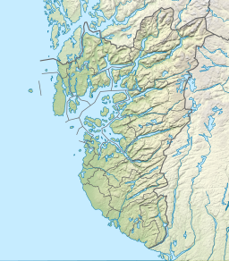
Karmsund is a strait located in Rogaland county, Norway. The 30-kilometre (19 mi) long strait separates the island of Karmøy on the west and the mainland of Norway and island of Vestre Bokn in the east. The strait runs through the municipalities of Haugesund, Karmøy, and Bokn. The town of Haugesund lies at the northern end of the strait and the town of Kopervik lies in the central part of the strait, and the town of Skudeneshavn lies near the southern end where the strait flows into the Boknafjorden. The Karmsund Bridge, a part of the European route E134 highway, links Karmøy to the mainland. The bridge was completed in 1955. The small islands of Vibrandsøy, Risøy, and Hasseløy lie in the strait at the northern end, just off shore from the town of Haugesund.[1]
Near the Norsk Hydro Factory on Karmøy, there are three powerlines that cross the Karmsund on 143-metre (469 ft) tall electricity pylons, which are the tallest in Norway. A local newspaper in this area is named after the strait: Karmsund Avis.[2]
- ^ Store norske leksikon. "Karmsund" (in Norwegian). Retrieved 2015-10-01.
- ^ "Karmsund Avis". Archived from the original on 2007-01-02.

