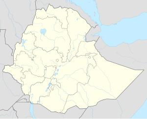
Kebri Beyah
Qabri Bayax | |
|---|---|
City | |
| Nickname: KB | |
| Coordinates: 9°21′N 42°48′E / 9.350°N 42.800°E | |
| Country | |
| Region | Somali |
| Government | |
| • Type | City Administration Mayor = Khalid Mohamed |
| Elevation | 1,609 m (5,279 ft) |
| Population (2007) | |
| • Total | 165,518 |
| Time zone | UTC+3 (EAT) |
Kebri Beyah (Somali: Qabribayax) is a city and woreda in Somali Region, Ethiopia. Part of the Kebri Beyah is bordered on the south by the Degehabur Zone, on the southwest by the Fiq Zone, on the northwest by Gursum, on the north by Jijiga and Awbare, on the northeast by Somaliland, and on the east by Harshin. The City administrative center is Kebri Beyah City.
The average elevation in this woreda is 1530 meters above sea level.[1] The only perennial rivers in Kebri Beyah are the Fafen and the Jerer. As of 2008[update], Kebri Beyah has 55 kilometers of asphalt road, 48 of all-weather gravel road and 2642 kilometers of community roads; about 13.1% of the total population has access to drinking water.[2]
The Ethiopian De-mining Office reported in November 2008 that it had cleared land mines planted in Kebri Beyah as part of the four million square meters of land the office had cleared in the Somali Region.[3]
- ^ Hailu Ejara Kene, Baseline Survey of 55 Weredas of PCDP Phase II, Part I Archived 2011-07-20 at the Wayback Machine (Addis Ababa: August 2008), Annex 1 (accessed 23 March 2009)
- ^ Hailu Ejara Kene, Baseline Survey, Annexes 16, 17
- ^ "Landmines Cleared From 4 Million Square Meters Of Land"[permanent dead link], Ethiopian News Agency, 20 November 2008 (accessed 17 June 2009)
