Khirbat al-Zababida
خربة الزبابدة | |
|---|---|
| Etymology: The ruin of Zebabdeh (a family name)[1] | |
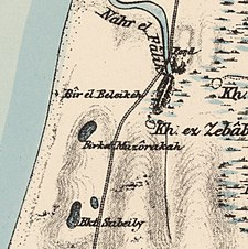
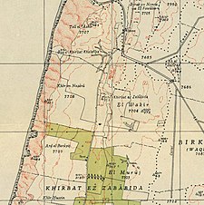
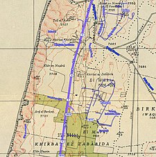
A series of historical maps of the area around Khirbat al-Zababida (click the buttons) | |
Location within Mandatory Palestine | |
| Coordinates: 32°15′11″N 34°50′14″E / 32.25306°N 34.83722°E | |
| Palestine grid | 134/184 |
| Geopolitical entity | Mandatory Palestine |
| Subdistrict | Tulkarm |
| Date of depopulation | May 15, 1948 |
| Area | |
| • Total | 10,879 dunams (10.879 km2 or 4.200 sq mi) |
| Current Localities | Yakum[4] Ga'ash[4] |
Khirbat al-Zababida (Arabic: خربة الزبابدة, the Ruin of the People of Kafr Zibad) was a Palestinian Arab village in the Tulkarm Subdistrict. It was depopulated during the 1948 Arab–Israeli War on May 15, 1948. It was located 20 kilometres (12 mi) southwest of Tulkarm, south of Wadi al-Faliq. Khirbat al-Zababida was mostly destroyed except for four deserted houses.


