This article needs additional citations for verification. (May 2021) |
King Island Airport | |||||||||||||||||||
|---|---|---|---|---|---|---|---|---|---|---|---|---|---|---|---|---|---|---|---|
| Summary | |||||||||||||||||||
| Airport type | Public | ||||||||||||||||||
| Operator | King Island Council | ||||||||||||||||||
| Serves | King Island | ||||||||||||||||||
| Location | Currie, Tasmania | ||||||||||||||||||
| Elevation AMSL | 132 ft / 40 m | ||||||||||||||||||
| Coordinates | 39°52′39″S 143°52′42″E / 39.87750°S 143.87833°E | ||||||||||||||||||
| Maps | |||||||||||||||||||
 | |||||||||||||||||||
 | |||||||||||||||||||
| Runways | |||||||||||||||||||
| |||||||||||||||||||
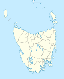
King Island Airport (IATA: KNS, ICAO: YKII) is a small regional airport located near the town of Currie on King Island off the north-west coast of Tasmania, Australia. The airport is owned and operated by the King Island Council.
- ^ YKII – King Island (PDF). AIP En Route Supplement from Airservices Australia, effective 13 June 2024, Aeronautical Chart
