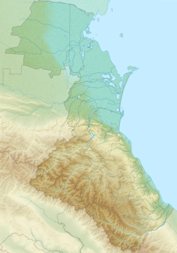
| Kizlyar Bay | |
|---|---|
| Кизлярский залив | |
Location in Dagestan | |
| Location | Dagestan, Russian Federation |
| Coordinates | 44°34′30″N 46°59′58″E / 44.57500°N 46.99944°E |
| River sources | Kuma, Prorva and Talovka |
| Ocean/sea sources | Caspian Sea |
| Basin countries | Russia |
| Max. length | 20 km (12 mi) |
| Max. width | 40 km (25 mi) |
| Average depth | 4 m (13 ft) |
| Islands | Tyuleniy Island |
| Settlements | 0 |
The Kizlyar Bay (Russian: Кизлярский залив Kizlyarskiy Zaliv) is a bay of the Caspian Sea located in the Republic of Dagestan, Russian Federation.
If the plans for the proposed Eurasia Canal, linking the Caspian Sea with the Black Sea, are ever implemented, it will likely have the Kizlyar Bay as its eastern end.
