| Krantzkloof Nature Reserve | |
|---|---|
 The upper Molweni gorge | |
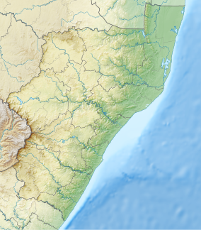
Location on a map of KwaZulu-Natal | |
| Location | KwaZulu-Natal, South Africa |
| Nearest city | Pinetown |
| Coordinates | 29°45′51″S 30°51′03″E / 29.764303°S 30.850883°E |
| Established | 1950 by Natal Parks Board |
The Krantzkloof Nature Reserve, managed by Ezemvelo KZN Wildlife, conserves 668 ha[1][2] of the Molweni (Zulu: 'mutual greetings'[3]) and Nkutu River gorges that incise the sandstone Kloof plateau[4] in KwaZulu-Natal, South Africa. The reserve conserves coastal scarp forest, sourveld grassland, a cliff face biotope, and aquatic environments along its rivers. Scarp forest is a threatened forest type, protected by South Africa's forests act of 1998,[5] while the grassland is classified as KwaZulu-Natal sandstone sourveld, the most threatened terrestrial habitat in the Durban metropole.[6] The reserve was established in 1950 and was augmented by land donations as late as 1999.[4]
- ^ "Krantzkloof Nature Reserve". kknr.org.za. Retrieved 2018-01-14.
- ^ Stuart, Chris & Tilde (1989). Guide to Southern African Game & Nature Reserves. Cape Town: Struik. p. 116. ISBN 0-86977-772-6. Note: This source records the surface area as 535 ha in 1989.
- ^ Game Parks and Nature Reserves of Southern Africa. Cape Town: Reader's Digest. 1991. p. 160. ISBN 0-947008-66-7.
- ^ a b Cite error: The named reference
kknr-infowas invoked but never defined (see the help page). - ^ "Forest". Ecosystems. Giba Gorge environmental precinct. 2013. Archived from the original on 15 September 2013. Retrieved 9 August 2013.
- ^ "Grassland". Ecosystems. Giba Gorge environmental precinct. 2013. Archived from the original on 15 September 2013. Retrieved 9 August 2013.
