| Lake Ogawara | |
|---|---|
 | |
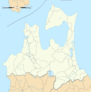
| Location | Aomori Prefecture |
| Coordinates | 40°47′00″N 141°19′00″E / 40.78333°N 141.31667°E |
| Type | dimictic lake |
| Primary outflows | Pacific Ocean |
| Basin countries | Japan |
| Surface area | 63.2 km2 (24.4 sq mi) |
| Average depth | 11 m (36 ft) |
| Max. depth | 25 m (82 ft) |
| Water volume | 0.714 km3 (579,000 acre⋅ft) |
| Residence time | 0.8 years |
| Shore length1 | 67.4 km (41.9 mi) |
| Surface elevation | 0 m (0 ft) |
| Frozen | December to March |
| 1 Shore length is not a well-defined measure. | |
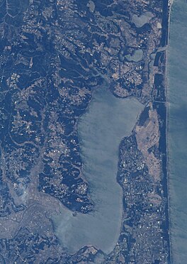
Lake Ogawara (小川原湖, Ogawarako) is Japan's eleventh largest lake (by area) and the largest in Aomori Prefecture.[1] It spans the boundaries of the city of Misawa, the town of Tōhoku, and the village of Rokkasho in Kamikita District.
- ^ Geospatial Information Authority of Japan (2015-03-06). 平成26年全国都道府県市区町村別面積調 湖沼面積(20傑) (PDF) (in Japanese). Archived from the original (PDF) on 2015-04-02. Retrieved 2015-03-08.


