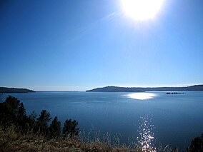
| Lake Oroville State Recreation Area | |
|---|---|
 | |
| Location | Butte County, California, United States |
| Nearest city | Oroville, California |
| Coordinates | 39°33′49″N 121°27′23″W / 39.56361°N 121.45639°W |
| Area | 29,447 acres (11,917 ha) |
| Established | 1967 |
| Governing body | California Department of Parks and Recreation |
Lake Oroville State Recreation Area (LOSRA) is a state park unit of California, United States, surrounding Lake Oroville, a reservoir on the Feather River. It is located in Butte County outside Oroville, California. The 29,447-acre (11,917 ha) park was established in 1967.[1] The recreation area "includes Lake Oroville and the surrounding lands and facilities within the project area as well as the land and waters in and around the Diversion Pool and Thermalito Forebay, downstream of Oroville Dam."[2]
- ^ "California State Park System Statistical Report: Fiscal Year 2009/10" (PDF). California State Parks: 26. Retrieved 2012-07-06.
{{cite journal}}: Cite journal requires|journal=(help) - ^ "3.0". Description of Existing Facilities and Operations,the Proposed Project, and Alternatives. May 2007. p. 3.2–17. Retrieved 2010-09-20.
{{cite book}}:|work=ignored (help)[permanent dead link]

