| Lake Paralimni | |
|---|---|
| Lake Ougria | |
| Λίμνη Παραλίμνη (Greek) | |
 View of the lake | |
| Location | Central Greece |
| Coordinates | 38°27′45″N 23°21′36″E / 38.462529°N 23.360051°E |
| Type | reservoir |
| Primary inflows | Lake Yliki through katabothra |
| Primary outflows | Gulf of Eubeoa through a katabothron, Athens through the Athens aqueduct |
| Max. length | 10 kilometres (6.2 mi) |
| Surface area | 14.5 square kilometres (5.6 sq mi) |
| Max. depth | 20.5 metres (67 ft) |
| Surface elevation | 55 metres (180 ft) |
| References | [1] |
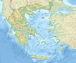
Lake Paralimni (Greek: Λίμνη Παραλίμνη, Limne Paralimni, Latinised as Lacus Paralimnus), formerly named Lake Ougria, Latinized to Uggria, is the easternmost of an east-west sequence of three ancient lakes in Central Greece that divided the mountains of Phocis from the plains of southern Boeotia on the east and the northern plains of Boeotia from the southern on the west. The westernmost and largest of the lakes, Lake Copais, was drained in the 19th century to make way for a large tract of fertile agricultural land, divided into plots. The ancient Bronze-age community on its northwestern shore, Orchomenos, is now a modern city at the edge of the farmland. The Cephissos River descending from Phocis to enter Copais has been rerouted through it to enter Lake Yliki from the north. Lake Yliki and Lake Paralimni are part of the water supply of the city of Athens, which houses one-third of the population of Greece.
